
%20(1)%201%201-1.svg)

.png?width=516&height=545&name=Tablet%20(1).png)

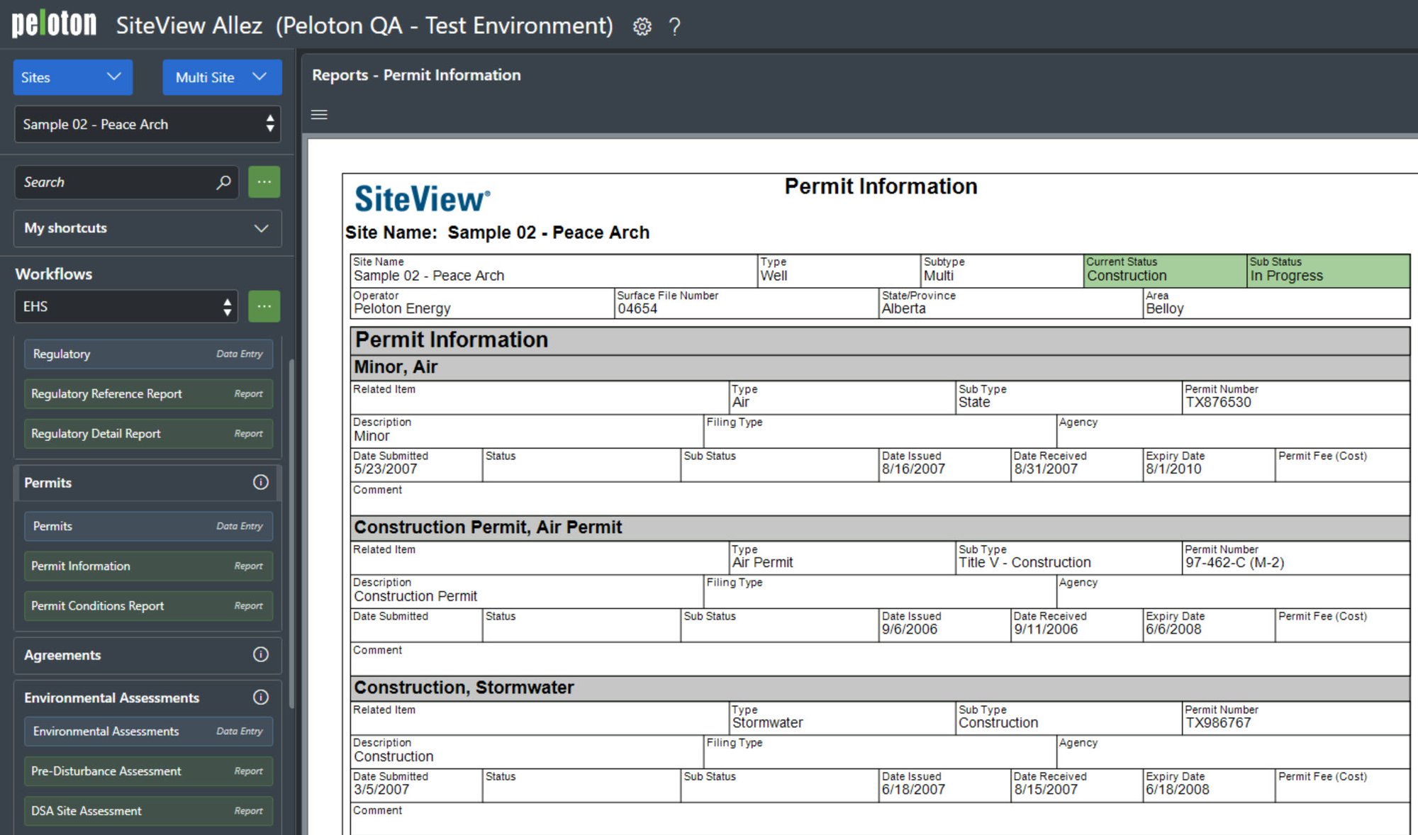
Stay audit-ready with proactive alerts, automated permit tracking, and configurable regulatory workflows.
Reduce Risk. Ensure Compliance. Stay Ahead.
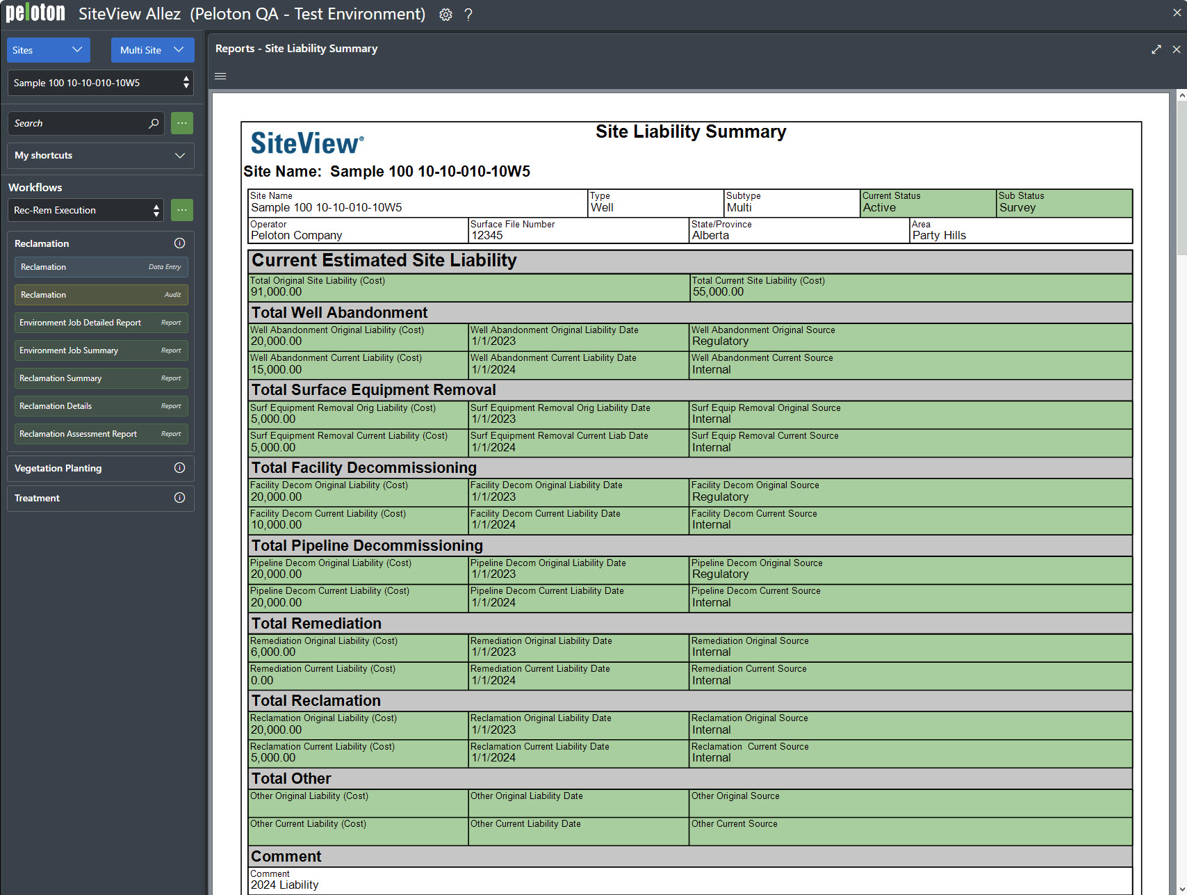
Manage site decommissioning, remediation planning, and liability assessments with structured workflows.
Track Liabilities. Protect Value.
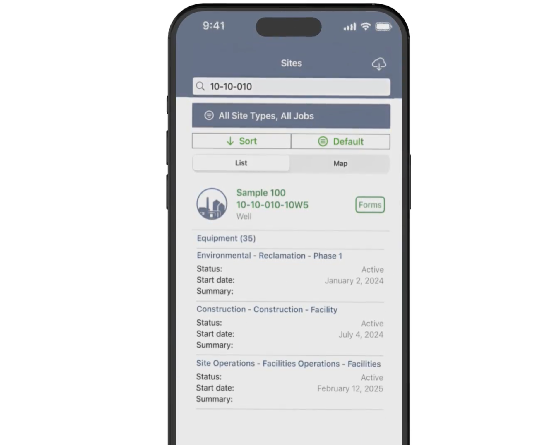
Capture field activities, cost updates, and compliance tasks from any device.
Field to Office. Fully Informed.

Streamline site inspections, construction tracking, and field maintenance using configurable workflows built for operational efficiency.
Automate Tasks. Reduce Delays.
Peloton Platform
SiteView Allez
What Sets SiteView Allez Apart
Built on industry expertise and automation, SiteView Allez is more than just a compliance tool; it’s a comprehensive site and facility management system designed for end-to-end operational control.
Your Centralized Hub for Site Compliance, Costs, and Field Operations
SiteView Allez serves as the trusted source of truth for site data, regulatory obligations, and operational workflows, reducing manual input, breaking down information silos, and keeping field and office teams aligned across the full site lifecycle.
Peloton Platform
SiteView Allez
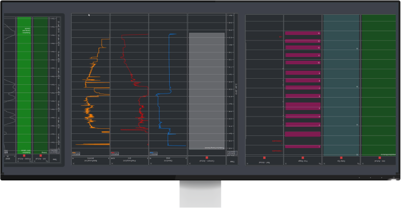
Transform Site Data Into Actionable Intelligence
SiteView Allez helps teams improve site efficiency, control costs, and drive informed decisions with comprehensive reporting tools.
Peloton Platform
SiteView Allez
Intuitive, Connected Site Management
SiteView Allez offers a consistent and intuitive interface designed for capturing site data, managing field and regulatory activities, and supporting operational oversight. Built with field and office teams in mind, the interface enables efficient navigation, structured data entry, and centralized access to essential workflows.
Peloton Platform
SiteView Allez
Connected Systems. Unified Oversight.
SiteView Allez integrates with Peloton applications and enterprise systems to align surface operations with well activity and regulatory workflows.